View from the air strip past antennas and fuel drums
Philip K Swartz - 1960-61 - South Pole Station - Antarcticans Database Project
more
Back to thumbnails
Previous
Next
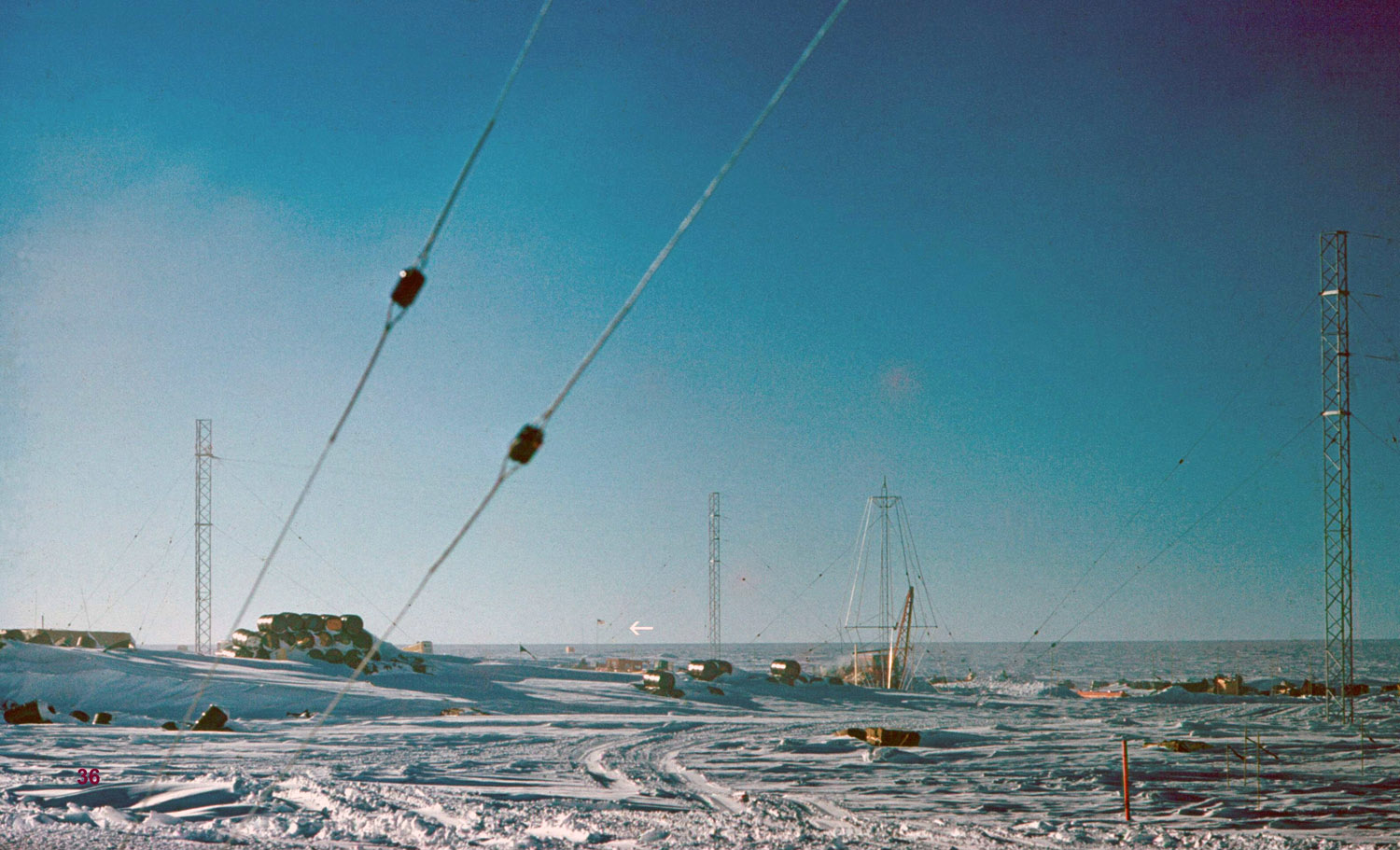
Siple’s Pole with flag visible is about ½ mile away. (On the slide mount I’ve marked lines that cross the area of the pole; on the computer picture I’ve [placed an arrow.)
I was told that when the station was first built, the construction crew was flown in, and after a few navigating sun sightings the plane landed and the crew debarked. Under the leadership of LT Bowers, and after a few more sun sights, the station was sited. On top of the station (and seen in later slides) a pole was erected that we referred to as Bower’s pole. Paul Siple was the science leader of the first wintering-over crew, and he took many star sightings to determine the actual pole location. He placed it at the point marked on this slide, and oil drums were placed in a circle around this point, about 50 yds in diameter to indicate the possible error - in theory the actual pole lay somewhere within this circle.
The second wintering over party, however, decided mistakes had been made in the first determinations, and after additional star sightings decided the actual pole was about half-way between the station and Siple’s pole. This, unfortunately, lay in the area of flight operations and a pole could not be erected. It was marked, instead, by a reference stake inside the station. One or two years later, someone not knowing the significance of this stake, removed it. By the time we were at the station, with the unknown movement of the polar ice cap, the actual location was in doubt, and air operations had been relocated to the west side of the station.
Pictures from Philip K Swartz, overwinter, South Pole, 60-61