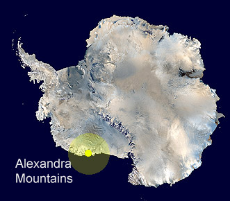
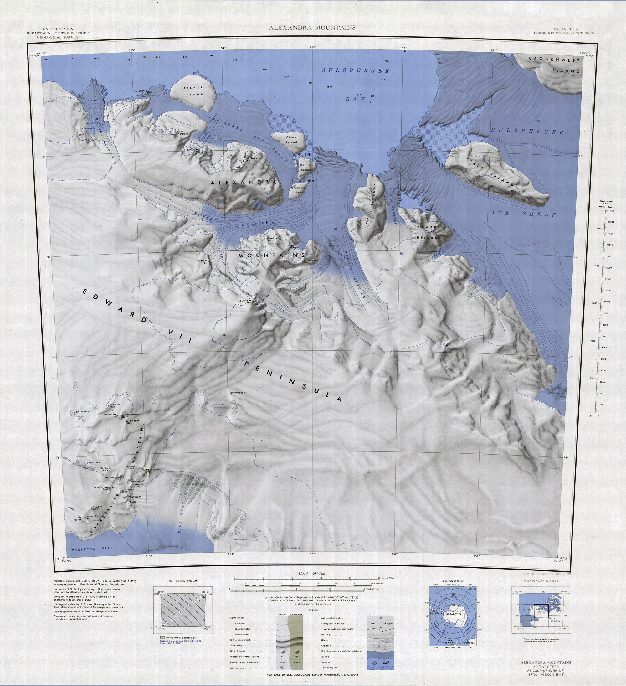
 Alexandra
Mountains
Alexandra
Mountains
Antarctic Regions - Maps
and Pictures
Regional maps of Antarctica with photographs of the area.
Geography - map skills
Teacher file, maps + worksheet + answers
word document
| pdf
document
A high resolution zoomable map of Antarctica
here
Another zoomable Antarctic map, not quite so high
resolution but more visible features
here
A rarely visited range of mountains in Marie Byrd Land, discovered in 1902 by RRS Discovery, named for Alexandra, then Queen of England.
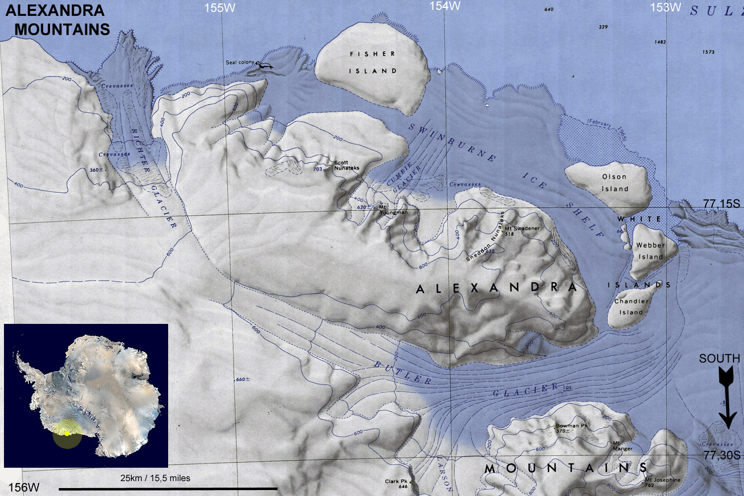
Alexandra Mountains and coast
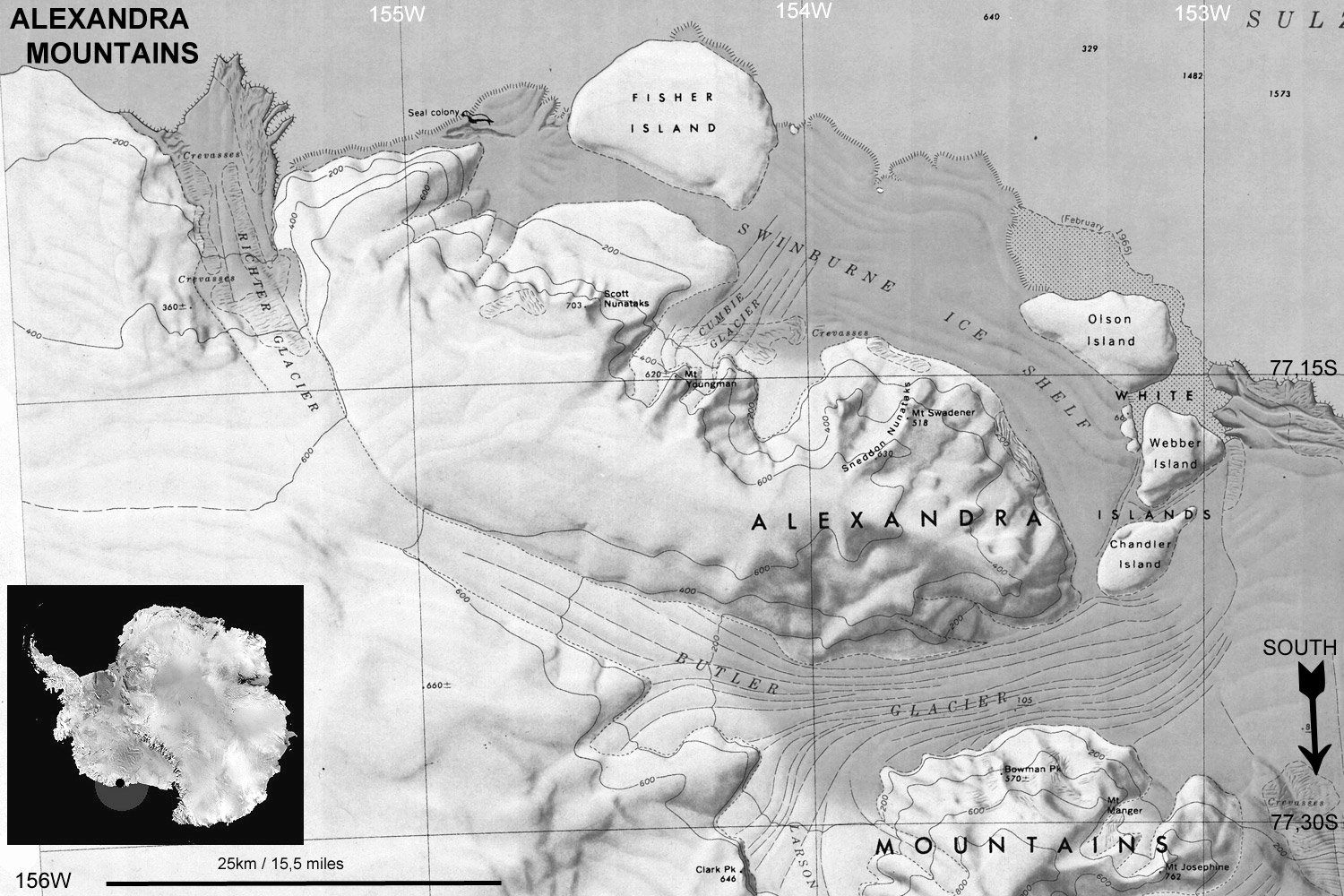
Black and white to print and copy
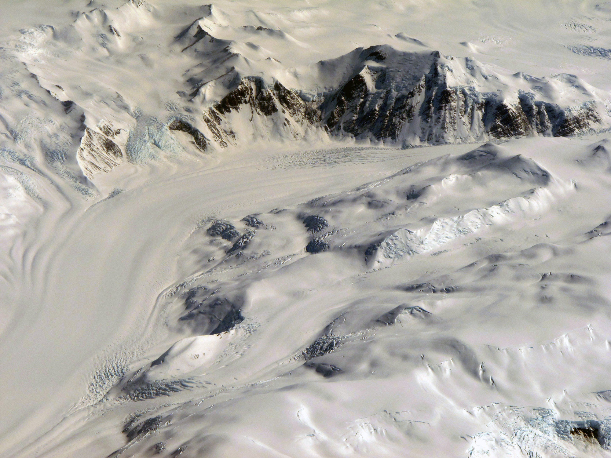
Antarctic mountains and glaciers, not the Alexandra Range but illustrative of the kind of terrain.
Source of the Maps
Topographic Reconnaissance maps of Antarctica. Originally published at 1:250,000-scale by the U.S. Geological Survey in cooperation with the National Science Foundation.
Picture credits: Peaks and glaciers, Peter Rejcek - NSF.