Map of Antarctica
Philip K Swartz - 1960-61 - South Pole Station - Antarcticans Database Project
more
Back to thumbnails
Next
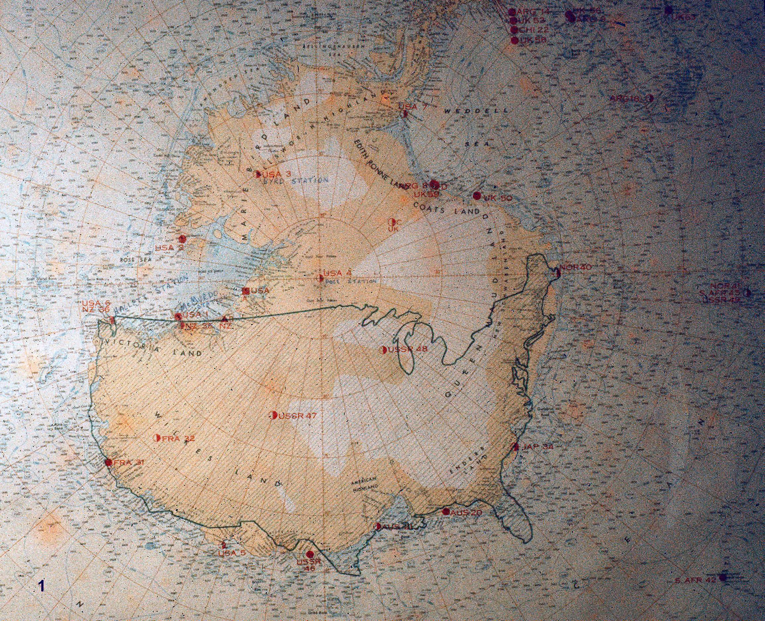
Outline of the US over it showing relative size. The red dots indicate stations placed during the IGY. The light blue stippled areas are the major ice shelves.
Palmer Peninsula extends towards the top of the picture and if extended further would roughly be continuous with the Andes of South America. New Zealand to the left. Africa towards the right.
Pictures from Philip K Swartz, overwinter, South Pole, 60-61