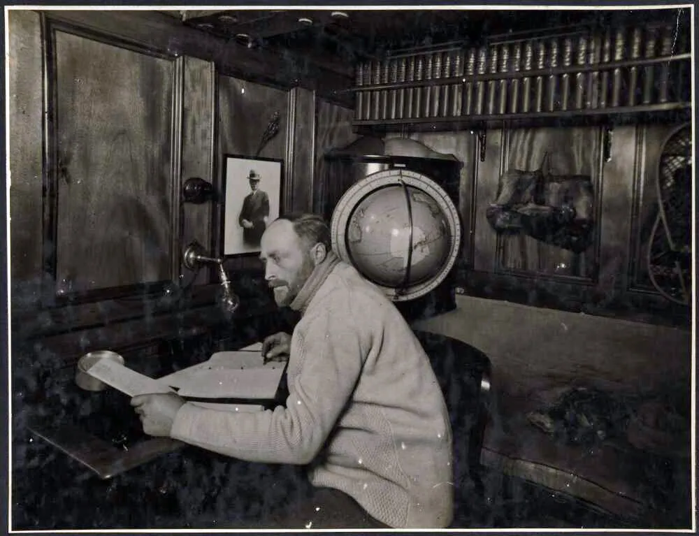
Douglas Mawson, 1882-1958
Biographical notes
Physicist, acting subsequently as master
Nimrod 1907-09
Expedition leader - Aurora 1911-1913
Born on a farm at Shipley, Yorkshire, England in 1882, his mother was originally from the Isle of Man. Educated in Australia.
Organiser and Leader of the Australasian Antarctic Expedition
previously a member of Sir Ernest Shackleton's Antarctic Expedition
of 1907-1909, being one of the party under Professor David which
reached the South Magnetic Pole. A graduate in Science and Engineering
of Sydney and Adelaide Universities, he had filled for some
time the post of Lecturer in Mineralogy and Petrology at the
Adelaide University. The only survivor of a party sledging to
the east from the Main Base in the summer of 1912-1913.
From Appendix 1, Mawson - Heart of the Antarctic
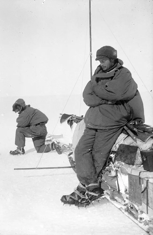
Mawson resting at Aladdins Cave, the outward journey of the Far Eastern party
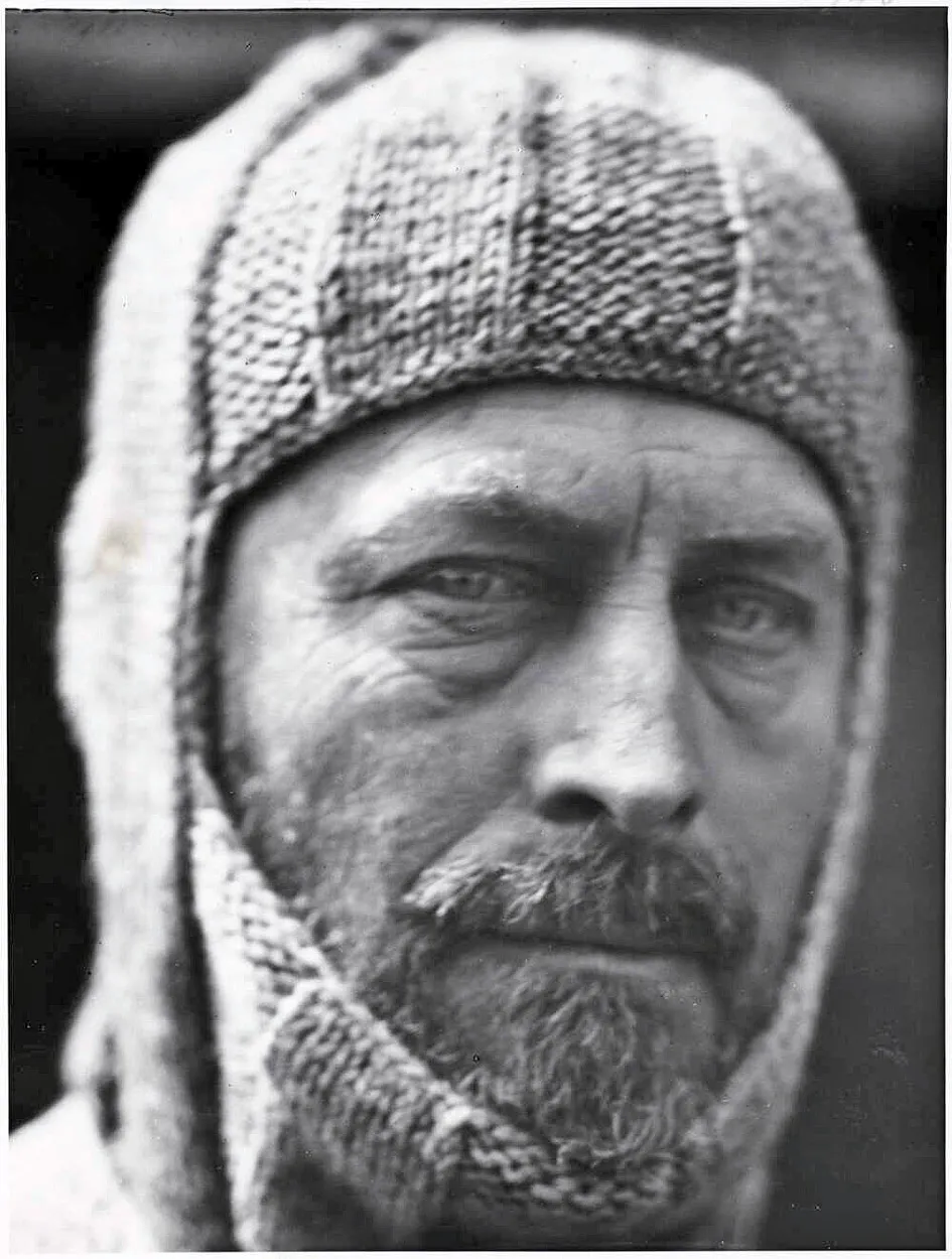
Sir Douglas Mawson
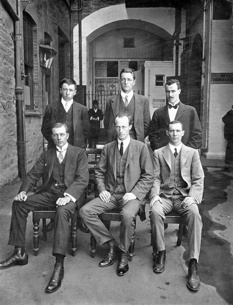
1911 Back Percy Correll Cecil Madigan and Frank-Bickerton Front Alfred Hodgeman Sir Douglas Mawson and Morton Moyes
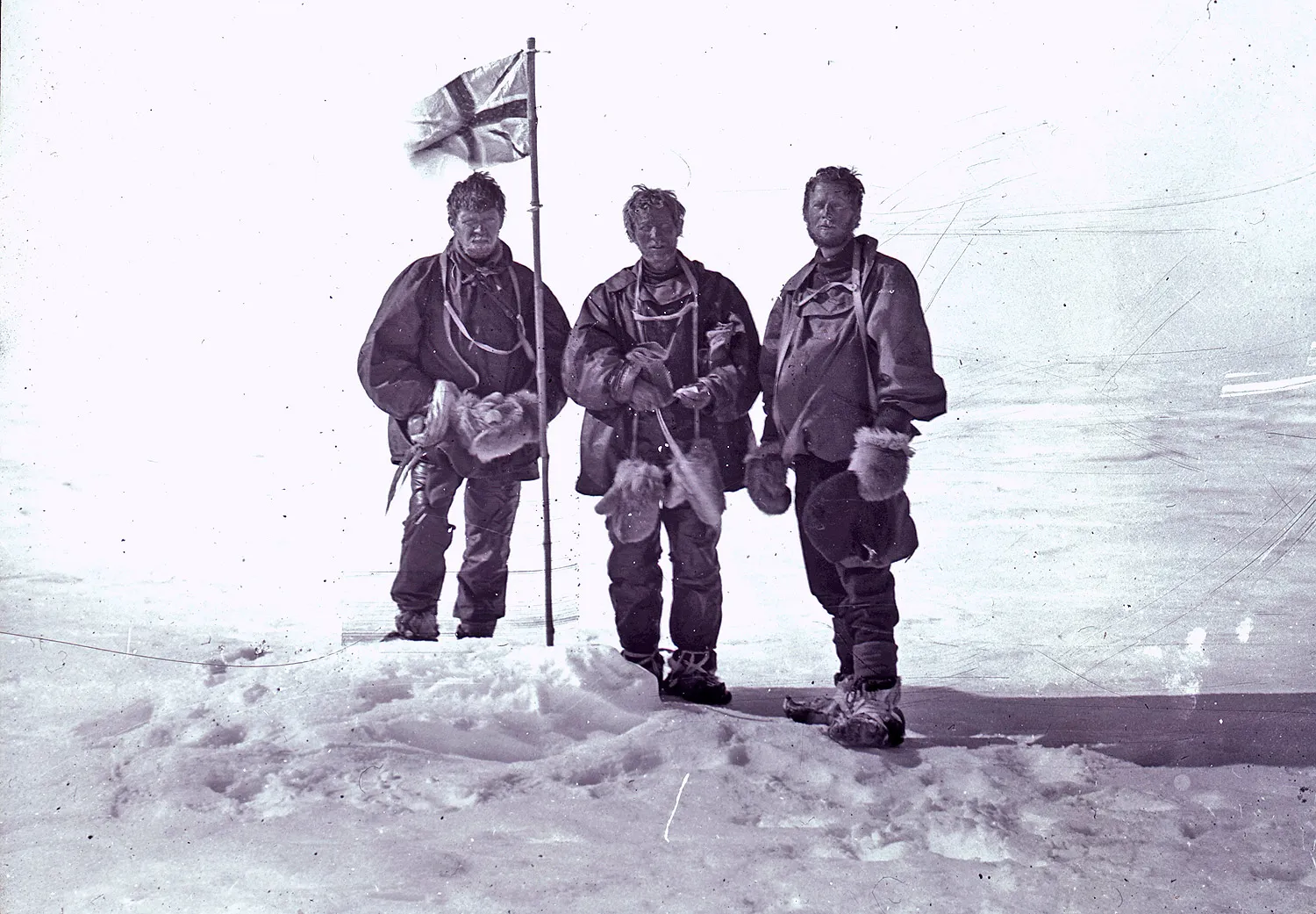
Alistair McKay, Edgeworth David and Douglas Mawson at the Magnetic South Pole during Shackleton's Nimrod expedition
Landmarks named after Douglas Mawson
Feature Name:
Mawson Bank
Feature Type: bar
Latitude:
73°30'S
Longitude: 174°00'E
Description: A bank named for Sir Douglas Mawson.
Feature Name:
Cape Mawson
Feature Type: cape
Latitude:
69°59'S
Longitude: 074°40'W
Description: Low, ice-covered cape forming
the SE extremity of Charcot Island. First seen from the air
and roughly charted by Sir Hubert Wilkins on Dec. 29, 1929,
in a flight made around the island. Remapped from air photos
taken by USN OpHjp in 1947 by Searle of the FIDS in 1960.
Feature Name:
Mawson Peninsula
Feature Type: cape
Elevation:
455
Latitude: 68°35'S
Longitude: 154°11'E
Description:
A high (455 m), narrow, ice-covered peninsula on the
W side of Slava Ice Shelf. It extends over 30 mi in a northwesterly
direction, terminating in Cape Hudson. Photographed from the
air by USN Operation Highjump, 1946-47. Phillip Law of ANARE
flew along the peninsula to its northern end in Feb. 1959 and
sketched and photographed it.
Feature Name:
Mawson Peak
Feature Type: summit
Elevation:
2745
Latitude: 53°06'S
Longitude: 073°31'E
Description:
A peak, 2,745 m, formed by an active volcanic cone
at the summit of Big Ben, the mountain dominating the main mass
of Heard Island. Surveyed in 1948 by the ANARE.
Feature Name:
Mawson Glacier
Feature Type: glacier
Latitude: 76°13'S
Longitude:
162°05'E
Description: A large
glacier on the E coast of Victoria Land, descending eastward
from the polar plateau, to the N of Trinity Nunatak and the
Kirkwood Range, to enter Ross Sea, where it forms the Nordenskjold
Ice Tongue. First mapped by the BrAE (1907-09).
Feature Name:
Mawson Escarpment
Feature Type: cliff
Latitude: 73°05'S
Longitude:
068°10'E
Description: A flat-topped,
west-facing escarpment which extends in a N-S direction for
70 mi along the E side of Lambert Glacier. Discovered by Flying
Officer J. Seaton, RAAF, of ANARE while on a reconnaissance
flight in November, 1956.
Feature Name:
Mawson Corridor
Feature Type: gap
Latitude:
67°00'S
Longitude: 063°00'E
Description: A sea passage between grounded
icebergs on the approach to Mawson Station at Holme Bay. It
is about 22 mi long and 4 to 5 mi wide, opening out at the southern
end to give the feature a funnel shape. The northern end at
6645S, 6320E, is sharply defined and coincides with the edge
of the continental shelf; from there it bears 202. Discovered
by ANARE in 1954, and used regularly by ANARE relief ships in
their approach to Mawson Station.
Feature Name:
Mawson Coast
Feature Type: beach
Latitude: 67°40'S
Longitude: 063°30'E
Description: That portion of the
coast of Mac. Robertson Land lying between William Scoresby
Bay, in 5934E, and Murray Monolith, in 6654E. The coast was
sighted during the BANZARE, 1929-30, under Sir Douglas Mawson.
Further exploration and landings at Cape Bruce and Scullin Monolith
were made during BANZARE, 1930-31.
p.s. Douglas Mawson might have been a splendid fellow and absolutely first rate, but I bet he regretted having that picture taken of him in the balaclava - I mean it's the sort you'd send to your aunt Ethel* to prove you really are wearing what she knitted for you.
*other aunts are also available.
Biographical information
- I am concentrating on the Polar experiences of the men involved.
Any further information or pictures visitors may have will be gratefully received.
Please email
- Paul Ward, webmaster.
What are the chances that my ancestor was an unsung part of the Heroic Age
of Antarctic Exploration?