Beaufort Island
Back to gallery | Back to Thumbs | Previous | Next
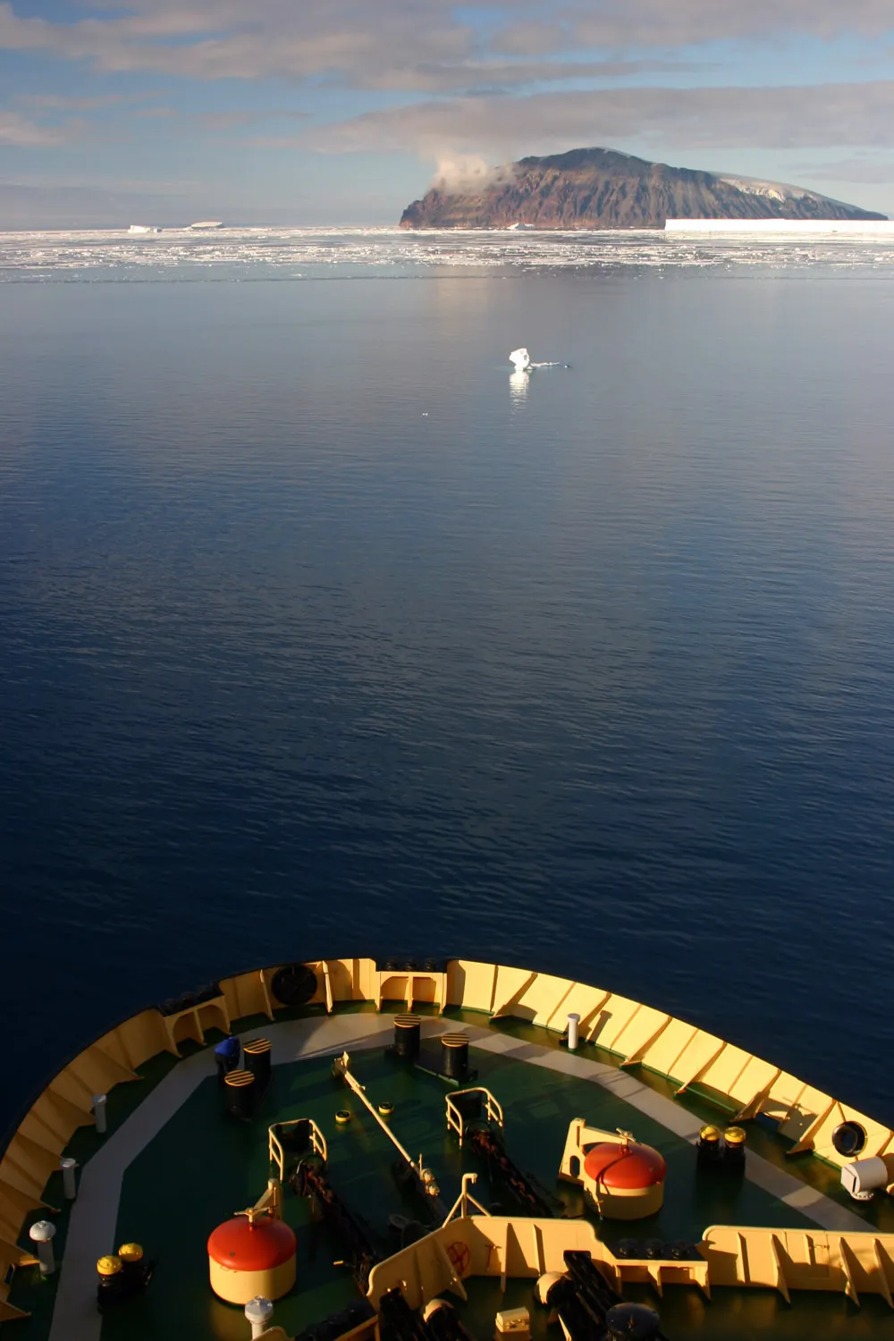
Beaufort Island is an isolated island in the Ross Sea about 13 miles (21 km) north of Ross Island. It is about 7 square miles (18 sq km) in area rising steeply to 2,530 feet (771m) made entirely of basalt which is characteristic for the area (Ross Island itself includes the active volcano of Mount Erebus).
Beaufort Island is designated as an "Antarctic Specially Protected area" an ASPA. This means that a permit is required to land on the island and any activities carried out there must be conducted according to a management plan. It has yet to be extensively surveyed, due to the difficulty of accessing it, human visitors have been rare. It has had far fewer opportunities than anywhere else in the Ross Sea region for the introduction of non-endemic biological material. It is this low level of human impact that has largely led to it being designated an ASPA.
There are larger areas of vegetation (moss banks) than anywhere in the region and the island has the most southerly found regions of red snow algae. A northerly facing aspect protected from cold southerly winds by high ice cliffs make it a relatively mild climate. A stable substratum (basalt) and a steady supply of water in the warmer months from ice cliffs and snow banks make it particularly favourable for the growth of vegetation.
Photo; © Mike Usher - Pictures from an icebreaker cruise to Eastern Antarctica.